




ProjectsDesign concepts
Zion Explorer
A trail app for Zion that answers the question before the hike
A concept app for Zion National Park. Trail apps tend to lead with imagery and bury the facts that actually gate a hike: whether it needs a permit, how much elevation it gains, whether the route is in water, and what the flash-flood forecast is. Angels Landing needs a lottery permit and the Narrows is a river walk that closes on flow rate — neither is a detail you want to discover at the trailhead. This set puts that information on the trail overview and gives the park's own rules and conditions a screen of their own.

The idea
The useful thing an app can tell you about Angels Landing is not what it looks like. It is that you need a lottery permit, that it gains 1,500 feet, and that the chains section is the part people turn around on.
So the trail overview leads with distance, difficulty, elevation gain, duration and permit status — the five facts that decide whether the hike is happening — and the photograph supports them rather than replacing them. The Narrows gets the same treatment for a different reason: it is a walk up a river, it closes on cubic-feet-per-second, and that number is the whole planning decision.
The information screen exists because national parks publish rules that matter — shuttle timetables, weather and flash-flood warnings, visitor services — and most trail apps make you leave for the park’s own site to find them.
The screens

Welcome

Create account

Sign in
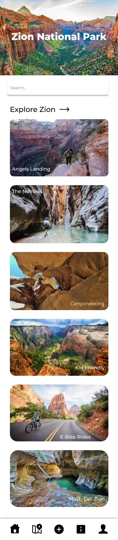
Explore
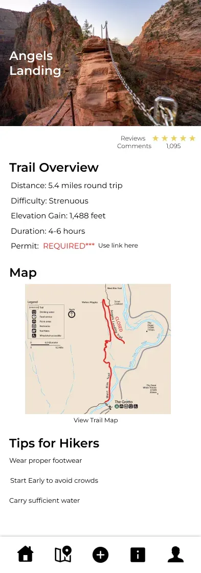
Angels Landing — permit required
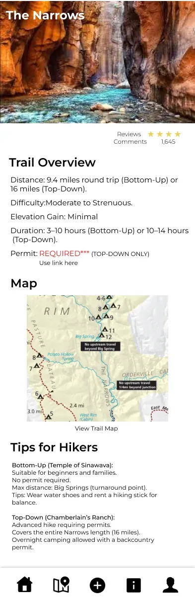
The Narrows
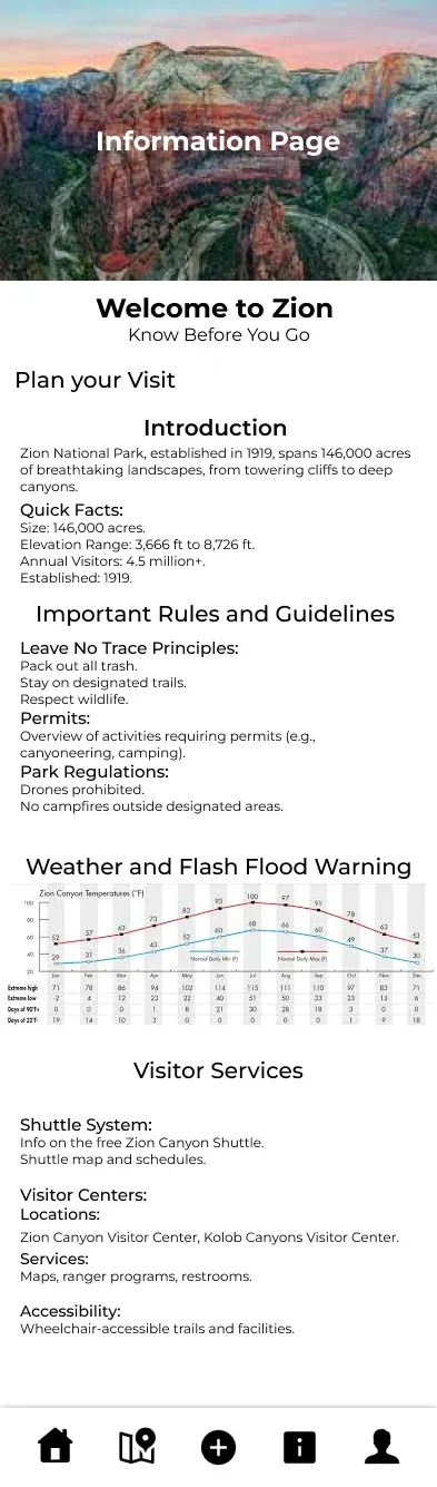
Park rules and conditions